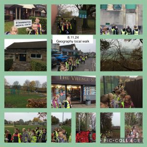
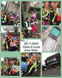
As part of our Geography days the Y2 children planned a route for a local walk using google maps. We then used our map/route to walk around our local area. We noticed several human features on our walk including the library, shops, church, cafe and playground. We also identified some physical features like the woods, hills and valley when we looked towards Loxley valley on our walk.
When we arrived back in school we drew a map of our walk and added a key with symbols to show the different features.

