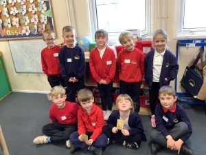
The children have loved taking part in their Geography learning all about the local area.
In FS the children have been learning the name of the school they attend and locating it on a map of Stannington. The children have uses a simple map of the school grounds to orienteer around it and describe the position of features such as the garden, playground, dining hall.
The children have also learned how to draw their own simple map.
In Year 1 the children have been learning to name the country, city and village they live in as well as learning their home address. The children have taken part in some fieldwork and went on a local area walk identifying human and physical features. The children were also begin to locate places on an aerial photograph and draw their own aerial map of the school grounds.
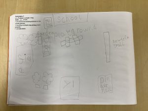
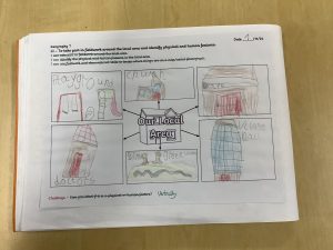
In Year 2 the children have located their house on a local area map. They have been learning that Sheffield is a city and that Stannington is a village and compared the features. The children used maps and aerial photographs to identify some physical and human features in Stannington and Sheffield. The children learned how to use compass directions, (North, South, East and West) locational and directional language. They also went on a local area walk which they planned and followed the route. They then used this to make a map with symbols and a key. The children have also been beginning to discuss ways in which they can protect and sustain the local area (Stannington).
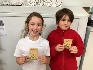
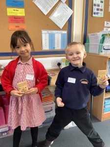
A big thank you and well done to all the children and families that took part in the Geography Trail! Every child that handed in their answer sheet has been given a sticker and 2 children from each class have been selected to win a packet of seeds which they can take away and grow.
